Integrated Terrain Analysis Program Services
Services Offered
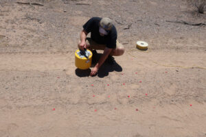
- Analysis of dust impacts to military equipment and operations
- Comprehensive characterization of dust and aerosols: mineralogical, emissions, airborne transport, modeling
- Terrain and environmental evaluation and mapping for military operations and training (U.S. to global).
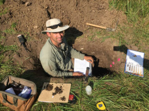
- Field and laboratory characterization of soil, sediment, and rock properties
- Local to global assessment of military operating environments (tropic, desert, cold-region, temperate) in support of test and evaluation activities and military operations
- Comprehensive environmental analysis (climate, vegetation, hydrology, cultural resources) to support range operations and sustainability
-
 Global to local remote-sensing, terrestrial image analysis, digital elevation data
- Hydrological modeling, evaluation, monitoring, analysis (surface and ground water)
- Sustainability of test and training ranges (natural and cultural resources)
- UAS airborne production and analysis of optical, thermal, and digital elevation models of military terrain
- Extensive GIS and remote sensing capabilities for terrain and environmental analysis
 Global to local remote-sensing, terrestrial image analysis, digital elevation data
CONTACT
Brad Sion, Ph.D.
Program Director
Brad.Sion@dri.edu
LAB LOCATION
Desert Research Institute
2215 Raggio Parkway
Reno, NV 89512
DIVISION
Earth & Ecosystem Sciences