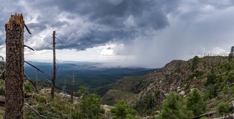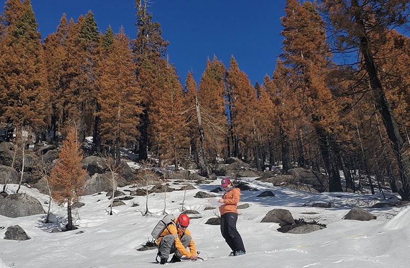
Wildfires Are Increasingly Burning California’s Snowy Landscapes and Colliding with Winter Droughts to Shrink California’s Snowpack
A DRI-led team examined what happens to mountain snowpacks when sunny, midwinter dry spells occur in forests impacted by severe wildfire.