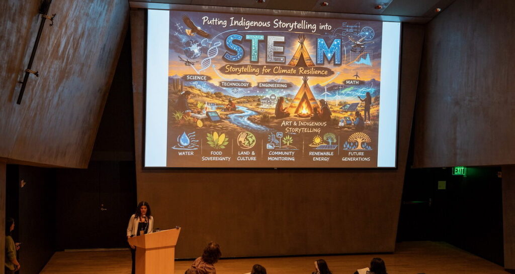
Indigenous Storytelling at the 2026 NV STEAM Conference
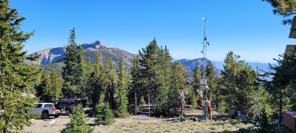
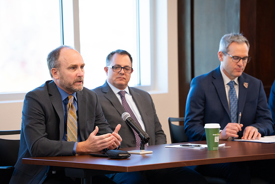
Last month at the Nevada Museum of Art, a few hundred K-12 teachers from across Nevada gathered on a Saturday morning to contemplate STEAM—the idea that students’ understanding of STEM (science, technology, engineering and mathematics) can be complemented and strengthened by incorporating the arts. The 2026 NV STEAM Conference, cohosted by the Desert Research Institute (DRI), also included a Friday night open house at the DRI campus.
As part of the conference, the Native Resilience project led two sessions titled “Storytelling for Resilience: Bridging Indigenous Knowledge and Climate Science,” highlighting how our project uses storytelling to spread awareness about climate-related challenges and resilience in Indigenous communities.