Looking for Answers in a Warming World
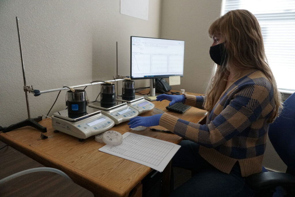
DRI researchers are examining the potential for climate intervention techniques to help cool communities – and the planet
DRI researchers are examining the potential for climate intervention techniques to help cool communities – and the planet

Rain-on-snow events are the focus of DRI’s Anne Heggli, who is studying ways to improve our ability to forecast and prepare for these potentially hazardous storms.

Mary Cablk retired from DRI after 23 years. Her journey into science began with remote sensing and later pioneered new fields of science.
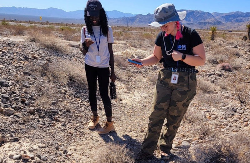
Tiffany Pereira’s student interns tracked elusive and threatened desert tortoises in the desert near Las Vegas, Nevada.
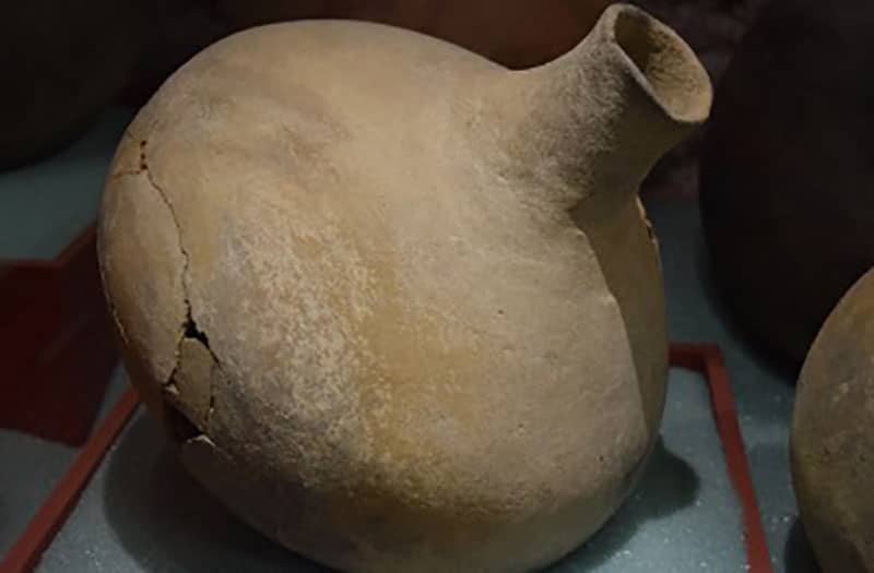
DRI archaeologist Greg Haynes recently completed a synthetic report on the prehistoric ceramic artifacts of the Colorado and Mojave deserts.
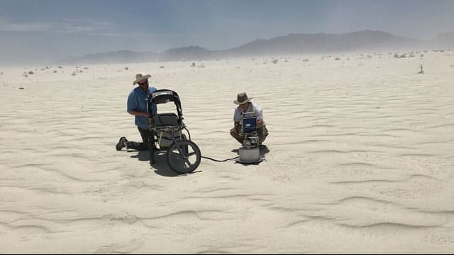
The study, published in Geology, seeks to characterize dust emission potential from landforms in two end-member eolian systems, where wind is the primary source of sediment transport.
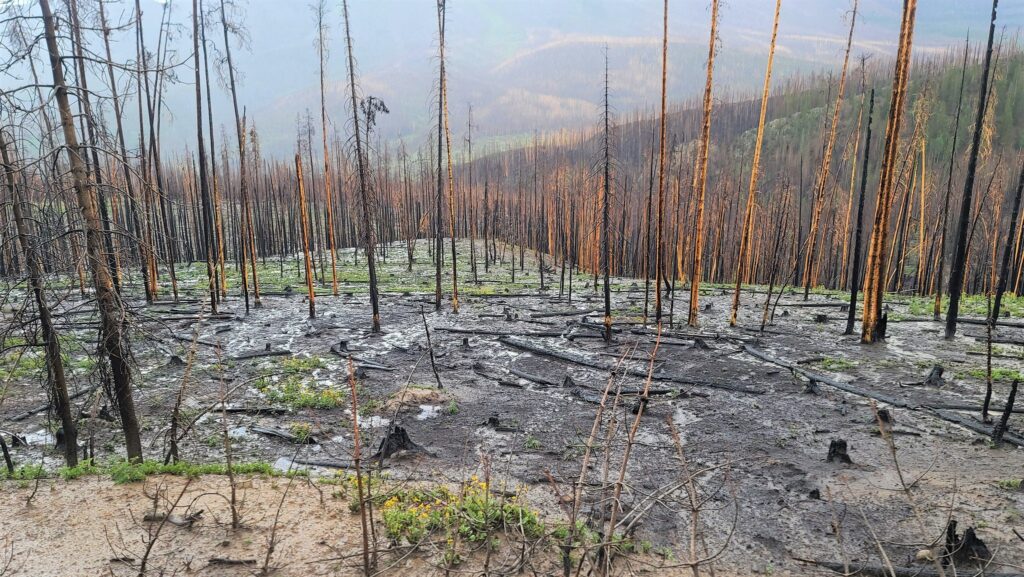
How did recent Sierra Nevada fires such as the Caldor, Tamarack, and Dixie impact soil properties in burned areas? An interdisciplinary team of DRI scientists has received funding from the National Science Foundation to find out.