12 Days of DRI: 2018 in Review

12 Days of DRI: 2018 in Review

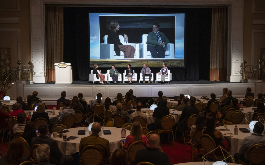
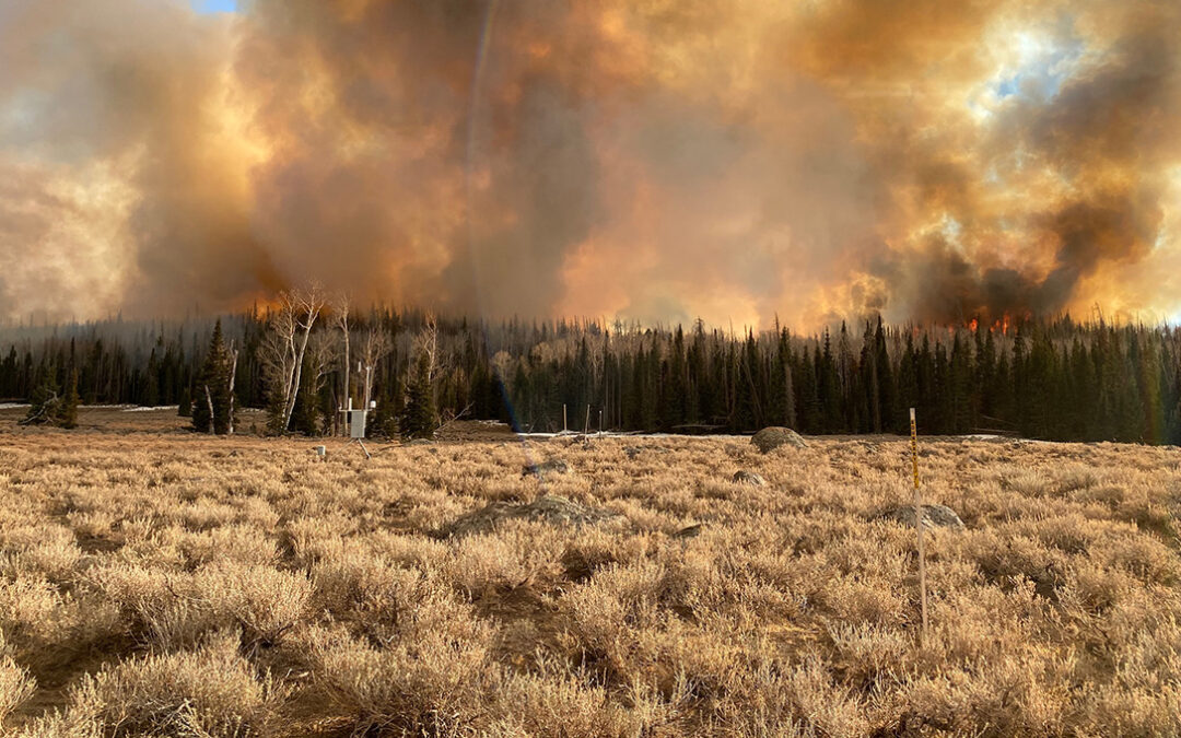
It’s safe to say that 2018 has been a great year for DRI. From launching new programs to engage community members in science and technology to making new strides in our core research areas, we’re proud of what we’ve accomplished, and we’re looking forward to all that...

CEFA Operations and Forecast Facility

CEFA Operations and Forecast Facility

Lab Description The Climate Ecosystem Fire Applications (CEFA) program utilizes a modern computing laboratory for data analysis and scientific visualization supporting the applications products that are routinely produced for wildland fire management agencies. Primary...

Western Regional Climate Center

Western Regional Climate Center

Lab Description The Western Regional Climate Center (WRCC) in Reno, Nevada, delivers high-quality climate data services at national, regional and state levels working with NOAA partners in the National Climatic Data Center, National Weather Service, the American...

DRI’s AWE+ Summit Tackles Wildfire Resilience and Recovery

DRI’s AWE+ Summit Tackles Wildfire Resilience and Recovery

DRI, one of our nation’s leading applied environmental research institutes, together with the DRI Foundation, this week held its inaugural AWE+ Summit -Wildfire Recovery and Resilience: Working Across Silos to Drive Solutions. The summit is a call-to-action for communities to implement measures that support resilience and human adaptability to devastating wildfire events. Nationally recognized scientific leaders discussed challenges, progress, and hope through actions that will lead to solutions.

Real-Time Environmental Monitoring and Alert System (REMAS)

Real-Time Environmental Monitoring and Alert System (REMAS)

Proven. Reliable. Secure. REMAS is a robust, real-time environmental data management system that measures, records, and analyzes data with alerting and on-site or web-based display. REMAS has a proven record enabling NAWCWD China Lake operations project schedule and...

Real-Time Environmental Monitoring and Alert System (REMAS)

NESEP Real-Time Environmental Monitoring and Alert System – DRI

Proven. Reliable. Secure. The REMAS™ platform is a robust, real-time environmental data management system that measures, records, and analyzes data with alerting and on-site or web-based display. The REMAS platform has a proven record enabling NAWCWD China Lake...

Meet Sayantan (Monty) Majumdar, Ph.D. 

Meet Sayantan (Monty) Majumdar, Ph.D. 

Sayantan Majumdar, Ph.D., joined DRI in June 2023 as an assistant research professor of hydrologic sciences and remote sensing. Majumdar, who also goes by the name “Monty,” also specializes in machine learning, geospatial data science, and scientific software development.

Ecologically Controlled Enclosed Lysimeter Laboratories – EcoCELLs

Ecologically Controlled Enclosed Lysimeter Laboratories – EcoCELLs

The Ecologically Controlled Lysimeter Laboratories (EcoCELLs) are located at the Desert Research Institute in Reno Nevada. The EcoCELLs are climate controlled and allow researchers to manipulate the environment (atmosphere and soil) within the EcoCELLs. Scientists use...

Meet Ziming Ke 

Meet Ziming Ke 

Ziming Ke is an atmospheric scientist who joined DRI in March 2025. He has extensive expertise in earth system modeling and is producing groundbreaking research that integrates wildfire science into global and regional models, including a recent publication that is the first to successfully replicate wildfire-induced thunderstorms in earth system models. He joined DRI as a postdoctoral researcher working with Hans Moosmuller. Ke completed an undergraduate degree in China, a master’s in oceanography at the University of South Carolina, and a Ph.D. in atmospheric physics and chemistry at Georgia Tech.  In the following interview, Ke shares his enthusiasm for wildfire science, spending time in Reno’s wetlands, and watching soccer games.

What We Know About Wildfire Risk and Prevention 

What We Know About Wildfire Risk and Prevention 

DRI scientists conduct a wide range of research on wildfire related topics to help policymakers, fire managers, and community members navigate challenges to public safety and health. In this Q&A, a selection of our scientists answer some of the most pressing questions about the environmental conditions that lead to the most devastating blazes and offer previews into some of their most relevant research.  

Hunter Brown

Hunter Brown DRILL Hourly Division of Earth and Ecosystem Sciences Student

Alisha Brown

Alisha Brown Botany Technician Division of Earth and Ecosystem Sciences Student

Linking microbial genomes to phenomes, one cell at a time

Linking microbial genomes to phenomes, one cell at a time Munson-McGee, J. H., Lindsay, M., Brown, J., Dykens, K., Moser, D. P., Lubelczyk, L., D'Angelo, T., Ziervogel, K., Emerson, D., Orcutt, B., Poulton, N., Stepanauskas, R. (2020). Linking microbial genomes to...

The Devils Hole Pupfish: Science in a Time of Crisis

The Devils Hole Pupfish: Science in a Time of Crisis Hausner, M. B., Wilson, K., Brown, K. (2018). The Devils Hole Pupfish: Science in a Time of Crisis, Desert Fishes Council Annual Meeting: Furnace Creek, CA, November 14, 2018-November 18, 2018

DRI Luminescence Laboratory (DRILL)

DRI Luminescence Laboratory (DRILL)

The DRI Luminescence Research Laboratory (DRILL) is located at DRI’s northern campus in Reno, NV and offers a broad spectrum of luminescence dating capabilities, including optically stimulated luminescence (OSL) and thermoluminescence (TL) techniques. The DRILL is a research laboratory dedicated to fundamental investigations in the luminescence properties of earth materials, and to the application of luminescence dating techniques to geomorphological, geological, and archaeological problems.

The timeline of climate, weather, and fire

The timeline of climate, weather, and fire Brown, T. J. (2021). The timeline of climate, weather, and fire, Living with Fire Webinar: [Virtual], June 10, 2021, Invited presentation.

Development of the hourly dispersion variables, including mixing height, transport wind, turner stability, dispersion index, and low visibility index with 384- and 72-hour forecast lead time for contiguous U.S. region in png format calculated based on GFS and NAM data (available during fire seasons)

Development of the hourly dispersion variables, including mixing height, transport wind, turner stability, dispersion index, and low visibility index with 384- and 72-hour forecast lead time for contiguous U.S. region in png format calculated based on GFS and NAM data...

Development of the hourly meteorological variables including min/max temperature, min/max relative humidity, accumulated precipitation with 384-hour forecast lead time for contiguous US region in geotiff format calculated based on GFS data. Data delivered to USFS.

Development of the hourly meteorological variables including min/max temperature, min/max relative humidity, accumulated precipitation with 384-hour forecast lead time for contiguous US region in geotiff format calculated based on GFS data. Data delivered to USFS....

Development of hourly and 6-hourly multi-level smoke concentration and visibility rating with 18- and 48-hour forecast lead time for Western US region in png, kmz, and geotiff formats calculated based on NOAA-HRRR data (available in fire seasons)

Development of hourly and 6-hourly multi-level smoke concentration and visibility rating with 18- and 48-hour forecast lead time for Western US region in png, kmz, and geotiff formats calculated based on NOAA-HRRR data (available in fire seasons) Hosseinpour, F. E.,...

The Devils Hole Pupfish: Science in a Time of Crisis

The Devils Hole Pupfish: Science in a Time of Crisis Wilson, K. P., Hausner, M. B., Brown, K. C.. 2021. The Devils Hole Pupfish: Science in a Time of Crisis. In: Standing between Life and Extinction: Ethics and Ecology of Conserving Aquatic Species in North American...