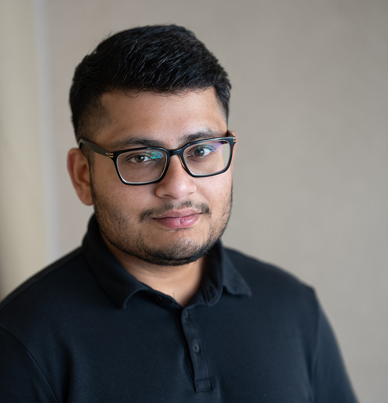
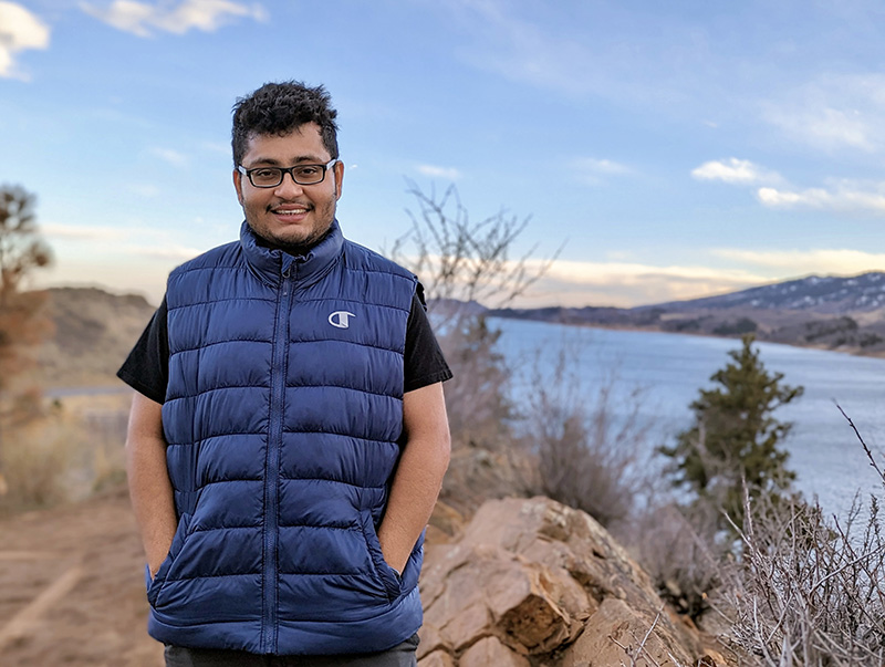
Sayantan Majumdar, Ph.D., joined DRI in June 2023 as an assistant research professor of hydrologic sciences and remote sensing. Majumdar, who also goes by the name “Monty,” specializes in hydrology, remote sensing, machine learning, geospatial data science, and scientific software development. Based at DRI’s Reno campus, he is working with Justin Huntington’s research group on OpenET and the Nevada Water Use Initiative.
Monty is originally from India and came to the U.S. for his Ph.D. work at the Missouri University of Science and Technology, after completing his master’s degree in the Netherlands. In addition to his academic research, he spent time working with Meta to develop geospatial software for analyzing global reforestation efforts, and at Planet Labs developing a surface water monitoring tool.
In the following interview, Monty shares what brought him to DRI, his research plans, and his impressive travel statistics.
DRI: Tell us about your background and what brought you to DRI.
Majumdar: Well, in my childhood, series like National Geographic got me interested in how rivers flow and other hydrological phenomena. Of course, I didn’t yet know the term hydrology. At the same time, I was interested in computer programming and how computers work. So, in my undergrad, I started with computer science. And then during my master’s, I switched tracks to an interdisciplinary field where I could contribute to both: earth science and computer science. That’s when I found out about geoinformatics, which I focused on for my master’s degree at University of Twente in the Netherlands.
After that, I came to the U.S. for my Ph.D. in geological engineering at Missouri University of Science and Technology in Rolla, Missouri. I was primarily focused on groundwater use — how water is being applied to irrigation fields, and how we can estimate that using satellite datasets and state of the art tools such as machine learning.
During my Ph.D., I worked with the USGS on estimating irrigation water use in the Mississippi Alluvial Plain. At that time, one of my current DRI mentors, Dr. Justin Huntington, had co-authored a paper about OpenET — which is a revolutionary evapotranspiration product, particularly for the Western U.S. When my USGS collaborators told me about it, that was the first time I’d heard about DRI. And I thought, “Okay, this might be a good place to join later on.” After I completed my Ph.D., I continued my work with the USGS as a postdoc at Colorado State University. I heard about the open faculty position at DRI in February and fortunately got myself a job. And I’m excited to be here.
DRI: How did you originally become interested in hydrology and remote sensing?
Majumdar: Those early childhood experiences with National Geographic and Discovery Channels, which showed me how landscapes form and rivers flow. But in India, where I grew up, geography was considered an art subject in school. Since I wanted to go into science, I could not take geography as an elective. I also really liked computer science as well, so I pursued that. I later found out about the field of geoinformatics, which has components of both earth science and computer science. And because these are scientific domains, real-life projects all use several terabytes of data. And you need the computational skills to actually work with those data and get something out of that, something which has meaning. That got me really interested and I decided to join this geoinformatics course at University of Twente in the Netherlands.
At that time, I was working on a project for estimating snow depth in the Himalayas, which was jointly funded by the Indian Space Research Organization. That was also the first time I went on a field campaign to visit the mountains and see how fieldwork happens. It was really great.
DRI: What research are you excited to pursue here at DRI?
Majumdar: Right now, I’m continuing my work on water use, specifically how groundwater is being applied to irrigation fields. I’m trying to develop more accurate and efficient methods to estimate how much water is being applied.
I plan to work on that as well as broaden my knowledge of hydrology, because my undergrad is in computer science. So, I’m still learning about hydrology, and the folks here at DRI are very knowledgeable and helpful. I hope to bring my skills to the table and learn from them. I’m planning to collaborate with DRI faculty to add to projects where I can apply my geospatial and machine learning skills that require intensive computational knowledge as well.
DRI: You’ve published a lot of work on groundwater use. Can you tell us more about this?
Majumdar: Across many parts of the world, groundwater is being heavily consumed for agriculture and drinking water. But there are not many places in the world that actively monitor this critical resource. Even in the U.S., there are only a handful of states that actively monitor their groundwater use — Kansas is one of them. So, for my Ph.D., I used data from Kansas, because they have almost 95% monitoring of their groundwater use — they have a very good database. And because I was using machine learning and data science and remote sensing, I needed good quality data.
I also worked with the USGS on the Mississippi Alluvial Plain project, where only 10% of the wells were monitored. And that is actually the scenario for most places. Even in Nevada, we only have regular water use reports starting in 2018. That’s why I thought of using integrated machine learning and remote sensing tools to estimate groundwater use.
I also co-authored studies with my Ph.D. advisor, Dr. Ryan Smith, on groundwater storage loss, which is about how groundwater use is affecting the water table. So, how the water table is declining over time, and what are the effects. Back in 2020, I published a study about estimating land subsidence in the Western U.S; that’s a very common problem in the region, where we typically have lots of unconsolidated clay soils. Too much extraction of groundwater compacts the soil, and that can damage your infrastructure. So, that is very important to monitor.
Just last month, Justin Huntington and I submitted a preproposal to the US Army Corps of Engineers to extend and improve that study throughout the Western U.S. We want to monitor how groundwater use is causing land subsidence near dam sites, and how we can monitor that at scale. So, that’s one of the projects that I’ll be working on if our proposal is successful.
DRI: Can you tell me about how your expertise in machine learning supports your research?
Majumdar: I’ve been working with machine learning since 2019, during my Ph.D. At that time, for groundwater hydrology, this was kind of a new and emerging field. The work I did in Kansas was the first study using machine learning and remote sensing to estimate high-resolution groundwater use.
One of the advantages with machine learning is that you can go over large amounts of data quickly. The alternative approach is through process-based models, which are very computationally intensive and difficult to calibrate.
DRI: What do you like to do outside of work?
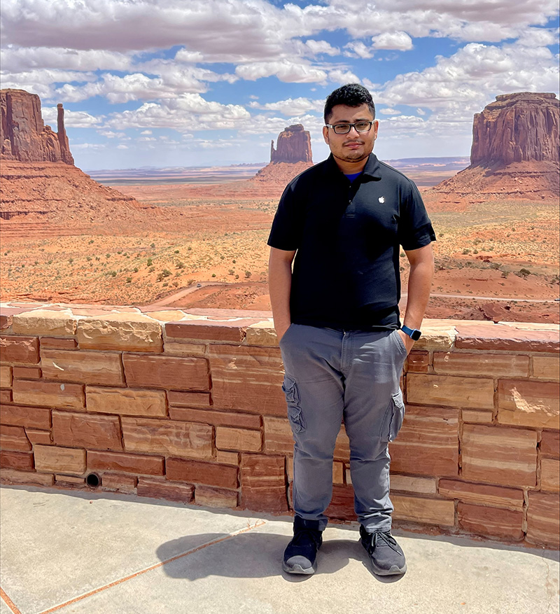
Majumdar: I’m big into traveling, especially road trips. I came to the U.S. in 2019 and I’ve now been to all 50 states (the last one being Hawaii). Not the territories, but just the states. So, yeah, I really like to travel, whenever I find time.
Other than that, I like cooking Indian food and watching TV series; this year I’ve been rewatching Breaking Bad and Better Call Saul. I am not big into adventure sports, but I plan to learn to ski. I also love working out in the gym and have lost 62 pounds so far in the past 8 months!