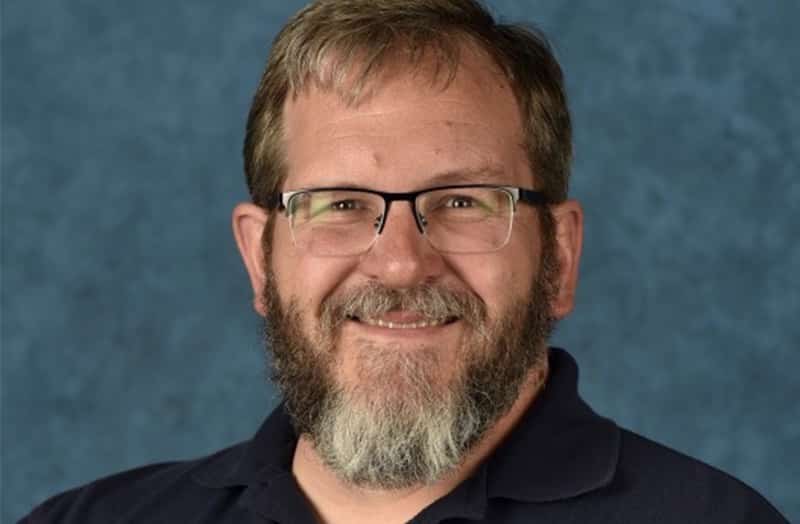
DRI Hydrologist Mark Hausner Receives 2020 Rising Researcher Award
Reno, Nev. (March 5, 2020) – Today, the Nevada System of Higher Education (NSHE) Board of Regents awarded the 2020 Rising Researcher Award to Mark Hausner, Ph.D., of the Desert Research Institute (DRI) in Reno. This honor is given annually to researchers from...