Citizen Science Weather Tracking Project Celebrates Record Breaking Winter
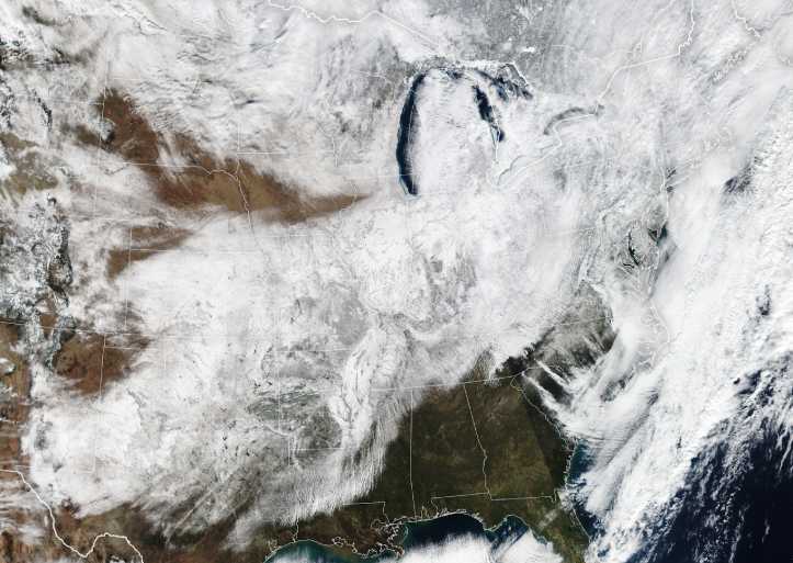
Mountain weather is famously unpredictable, with storms rolling in at a moment’s notice and one part of a mountain experiencing sleet while others nearby get rain or snow. Even small changes in elevation can impact the type of precipitation received from the same storm. Scientists are learning more about how winter storms change across time and space thanks to Mountain Rain or Snow, a NASA-funded partnership between DRI, UNR, Lynker, and thousands of community members across the country.