DRI Archaeologists to document ancient rock art at Fort Hunter Liggett
A group of Desert Research Institute (DRI) archaeologists will document ancient rock art at Fort Hunter Liggett using high resolution photography.
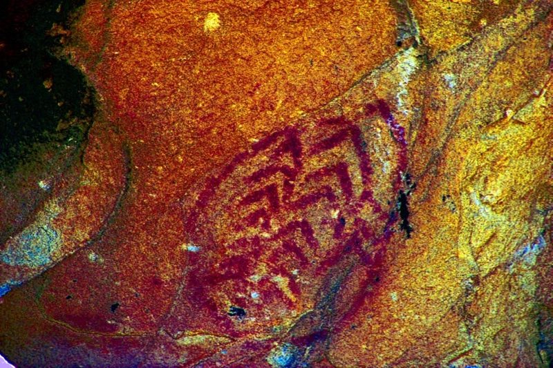
A group of Desert Research Institute (DRI) archaeologists will document ancient rock art at Fort Hunter Liggett using high resolution photography.

Ruins of adobe houses, Lost City of Nevada. Credit: Special Collections, University of Nevada, Reno Libraries. Nevada’s “Lost City,” located northeast of Las Vegas on a terrace above the Muddy River, has been lost twice before – first abandoned by the native people...