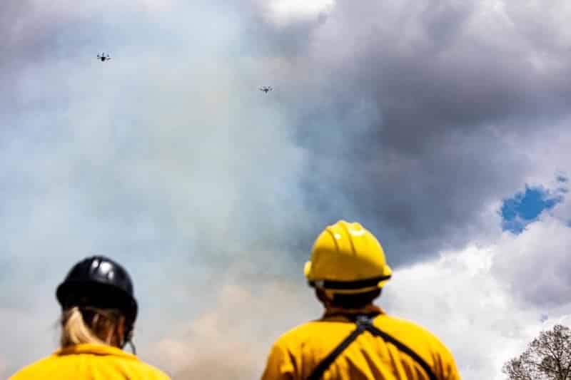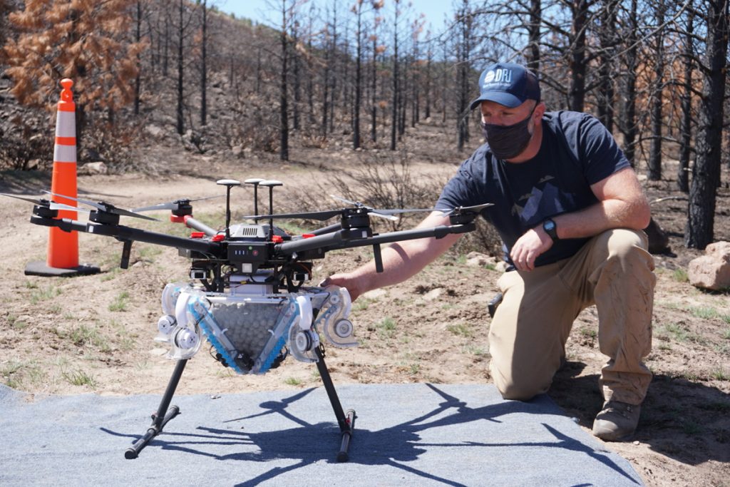
Restoration by Drone: DRI and Partners Test New Method for Reseeding Native Forests after Wildfire
Scientists from the Desert Research Institute (DRI) partnered with the Sugar Pine Foundation, Flying Forests, and the Carson Ranger District of the Humboldt-Toiyabe National Forest to test a new method for reseeding burned slopes by drone.