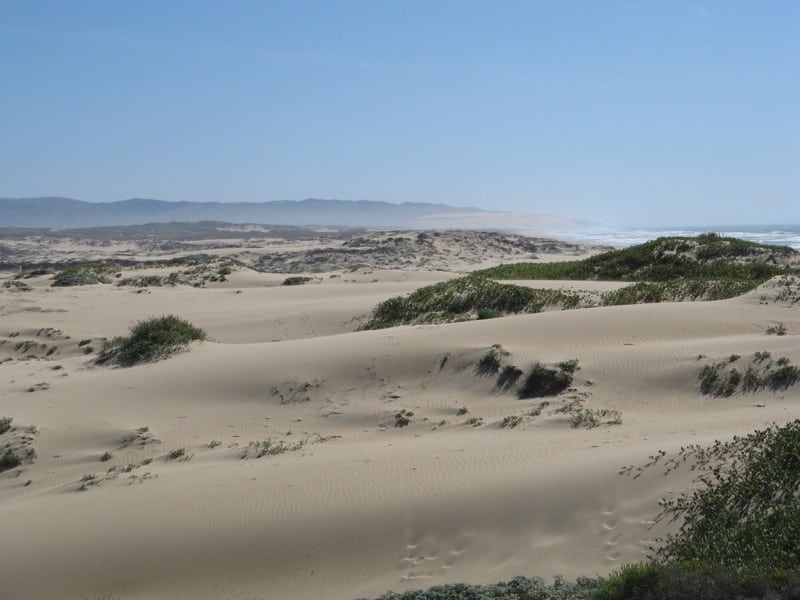
New study explores relationship between dust and Valley Fever
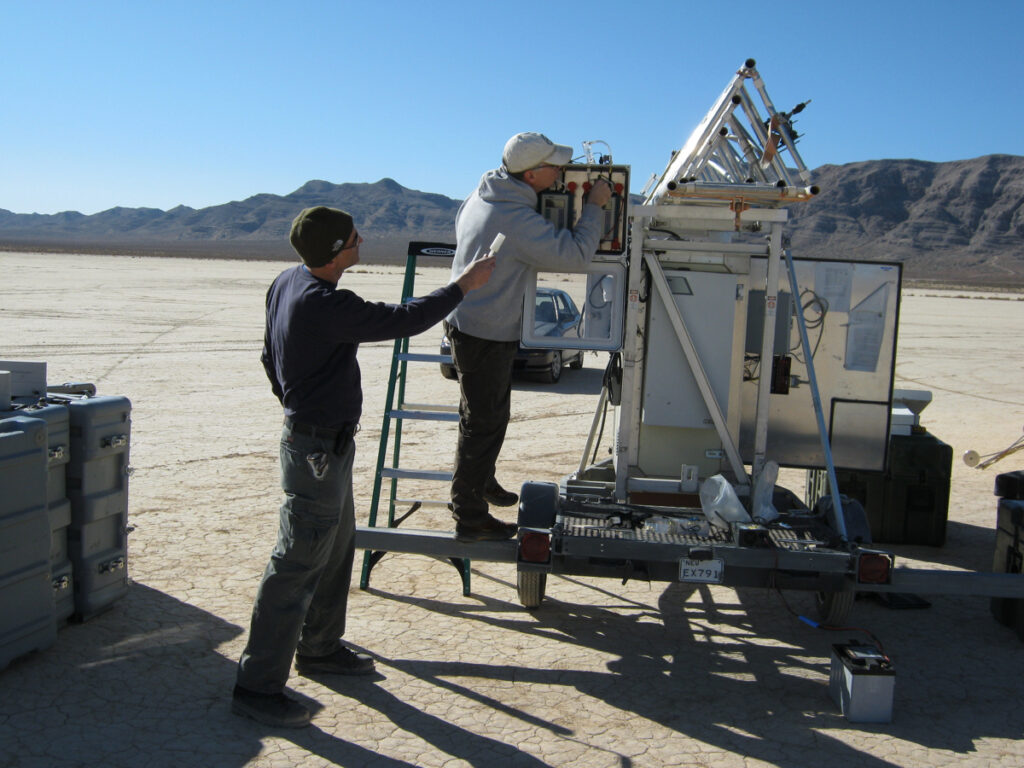
Vic Etyemezian, Ph.D., is the Interim Vice President of Research at the Desert Research Institute (DRI) and specializes in the study of dust emissions. Vic has been a member of the DRI community since 1999, when he started his career at DRI as a post-doctoral scientist with the Division of Atmospheric Sciences in Las Vegas. He recently published a paper in the International Journal of Environmental Research and Public Health titled “Valley Fever: Environmental Risk Factors and Exposure Pathways Deduced from Field Measurements in California,” working alongside colleagues Antje Lauer, Ph.D. (California State University Bakersfied), George Nikolich, M.S. (DRI), and others, so we connected with Vic to learn more about the project.