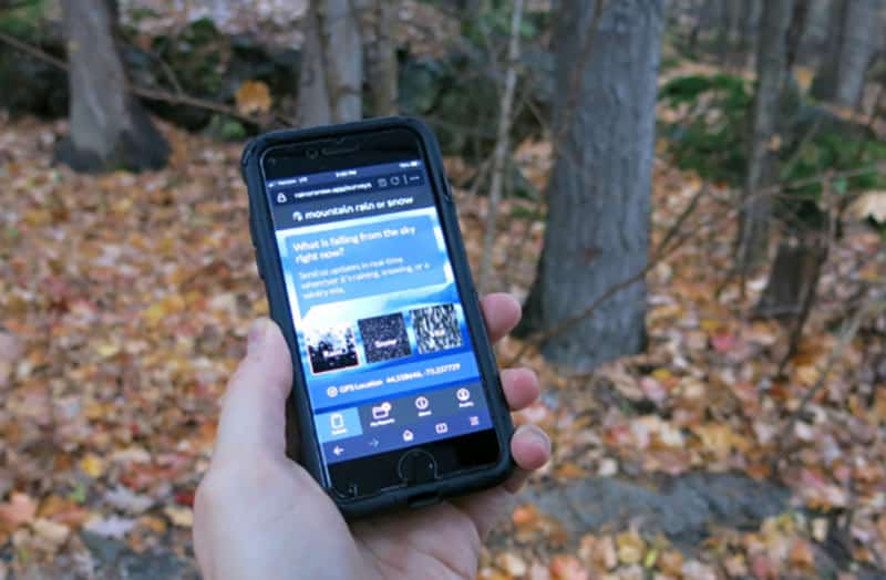
“Mountain Rain or Snow” Seeks Citizen Scientists and Winter Storm Reports
Mountain Rain or Snow is launching a project where citizen scientists like you can submit observations of rain, snow, and mixed precipitation via your smartphone, laptop, desktop, tablet, or any other device with a browser.