Join DRI’s Conservation Ecology Lab in Protecting Desert Flora & Fauna
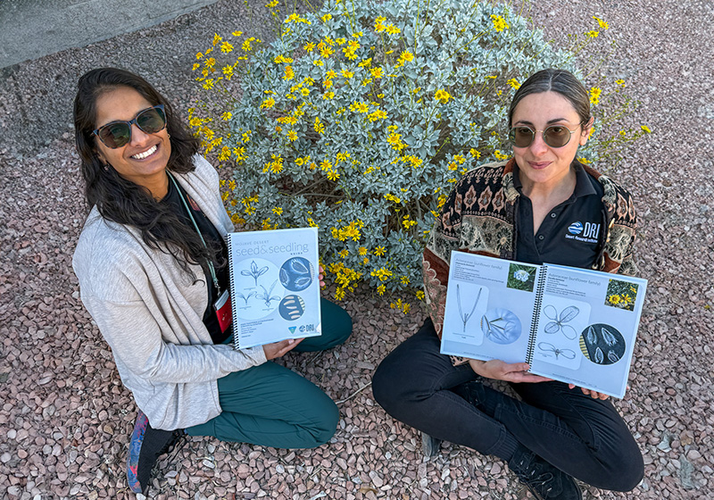
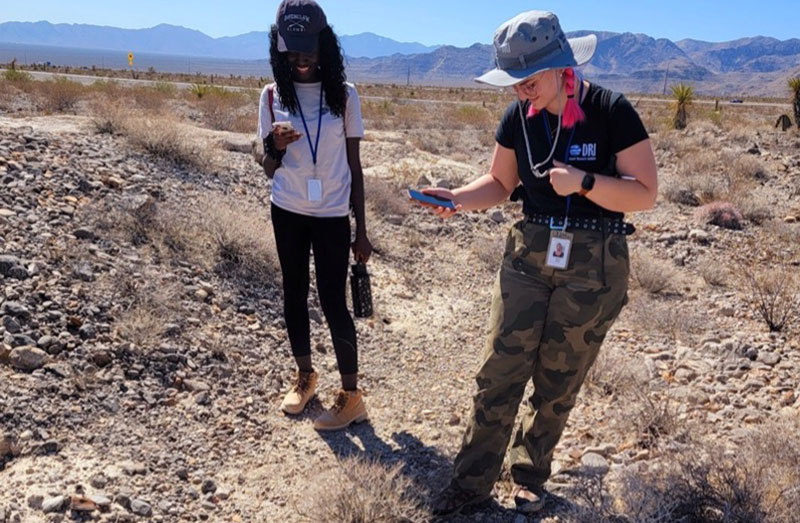
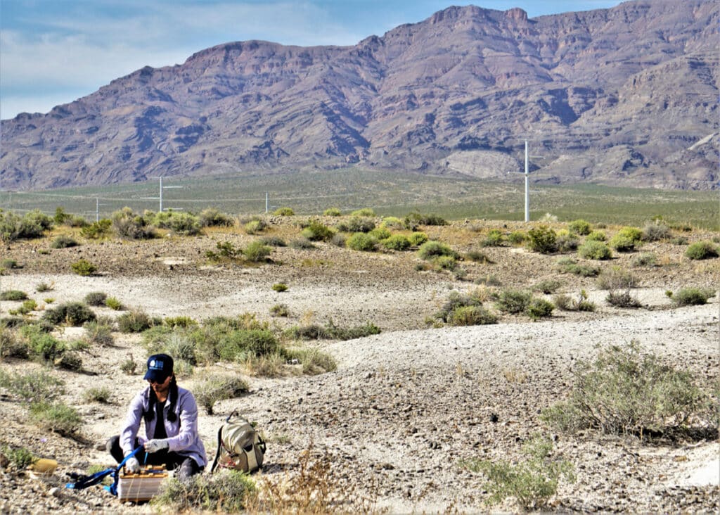
The DRI Conservation Ecology Lab, led by Tiffany Pereira and Tsvetelina Stefanova, helps guide the conservation and restoration of the Southwest’s diverse flora and fauna through basic and applied ecology and collaboration with federal agencies, community non-profits, and more. Central to the Conservation Ecology Lab’s mission to protect desert ecosystems is addressing and educating the public on the detrimental effects of invasive species, particularly on rare and threatened species.